 |
Location: Lions Bay, West Vancouver BC (click for map) |
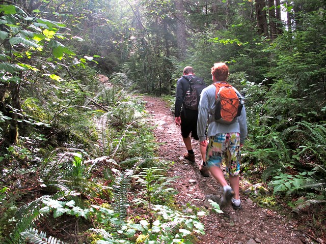
The flat section at the beginning, the steep parts are yet to come
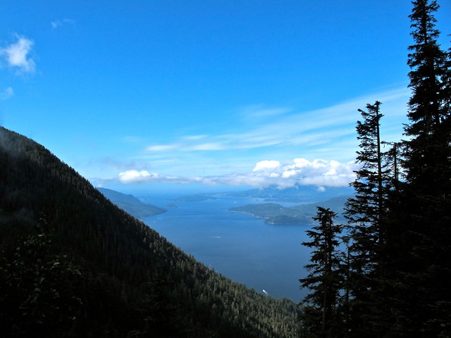
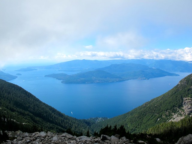
Howe Sound and Bowen Island viewpoint.
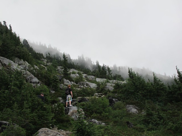
The trail clears and becomes a series of boulders.
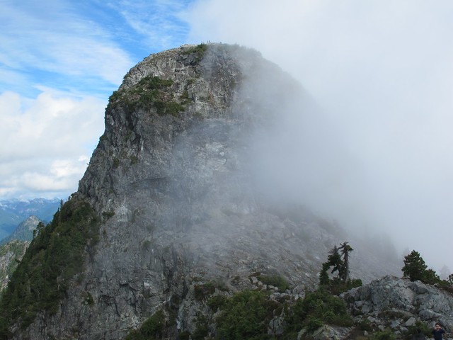
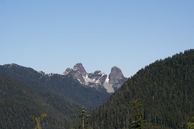
The West Lion in all its glory (the East Lion is inaccessible to hikers). This is the spot most people stop and have lunch, taking in the panoramic views before they start the decent. If you look closely you can see hikers on the summit. I would strongly advise only making this last trek to the summit (about 30 more minutes) if you can follow someone who knows the route well and can guide you up.
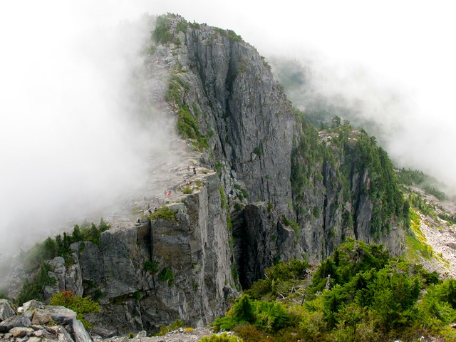
Looking back at the hikers from the top of the West Lion.
On the way down
These photos were from last summer, and because of the late spring this year there's still a few feet of snow at the very top. Check the conditions before you go and make sure you pick a clear day or else it’s going to be a really long walk in the fog. Vancouver Trails has a complete description and a comment board to see what other hikers are saying.
Get out there!
View VIA UNPLUGGED in a larger map