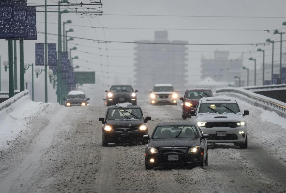
VANCOUVER — A weekend weather system has covered much of British Columbia in snow, and Environment Canada is warning more may be on the way for some areas of the province.
Parts of Vancouver Island and the Sunshine Coast received up to 40 cm of snow, Metro Vancouver and the Fraser Valley received between 10 and 25 cm, while northern B.C. and the central Interior saw around 30 cm in some areas.
Vancouver International Airport says 88 per cent of originally scheduled flights for Sunday will operate, but warns that as snow transitions to light showers, there is potential for schedule adjustments due to overnight snow.
Environment Canada says snowfall warnings are still in effect for the Fraser Valley, West Kootenay and Cariboo regions.
The weather office says a frontal system is bringing a "long duration snow event" to the B.C. interior with heavy snow continuing Sunday but, as the front moves southward, snowfall will taper off to a few flurries later in the day.
It suggests drivers delay travelling as winter storm warnings still cover Arrow Lakes to Slocan Lake, Highway 3 between Paulson Summit to Kootenay Pass, Cariboo, the Trans-Canada Highway from Eagle Pass to Rogers Pass, Coquihalla Highway from Hope to Merritt, the Sea to Sky between Squamish and Whistler, Kinbasket and Yellowhead Highway.
This report by The Canadian Press was first published Feb. 26, 2023.
The Canadian Press


