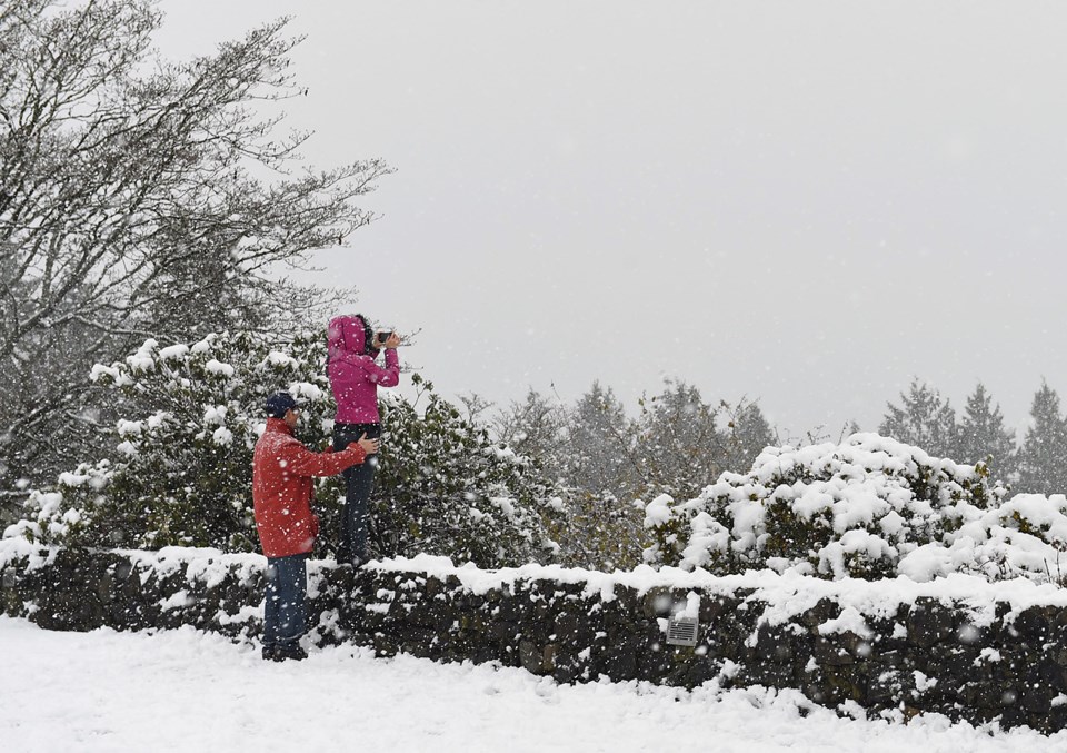
The Vancouver weather forecast calls for 15 – 25 cm of snowfall as a second low pressure system brings snow to the South Coast.
The news comes after the Lower Mainland received snowfall over the past two days, and commuter mayhem broke out across the city.
Now, a second disturbance off southwest Vancouver Island will spread snow across almost all of the entire South Coast this morning.
Following this, further accumulations of 5 to 10 cm can be expected. However, the snowfall is expected to gradually taper off by the afternoon and into the early evening as the low centre weakens.
The Snowfall warning is in effect for:
City of Vancouver – including Burnaby and New Westminster
Metro Vancouver – northeast including Coquitlam and Maple Ridge
North Shore – including West Vancouver and North Vancouver
Metro Vancouver – southeast including Surrey and Langley
Metro Vancouver – southwest including Richmond and Delta
What’s more, the Lower Mainland, as well as the rest of the province, woke up to snow. As such, today’s snowfall will continue build on the amount from yesterday.
These are the total snowfall accumulations as off 7 am on Tuesday, February 12.
The snow is adding up! Here are the numbers as of 7am on Tuesday, February 12, 2019. Stay tuned for updates as the flurries continue to fly! #BCstorm pic.twitter.com/otpLMl7D14
— ECCC Weather British Columbia (@ECCCWeatherBC) February 12, 2019
As always, the Vancouver Police warn drivers to exercise caution if they must drive today.
If you MUST drive today, please:
— Cst Anne-Marie Clark (@VPD2Fox15) February 12, 2019
• Clear ALL of the #snow off of your windows & roof,
• Slow down & drive for the road conditions,
• Give yourself extra time to reach your destination,
• Leave extra space between vehicles when driving & stopping.#DriveSafely #VPD #BCStorm pic.twitter.com/61mHPb6MoG