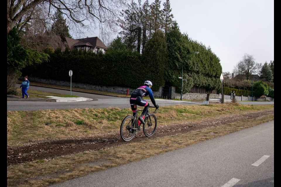
The Arbutus Greenway runs from False Creek to the Fraser River. It is a shared walking and cycling path that once was a Canadian Pacific Railway train track. In 2016, the city bought the land from the CPR and converted it into its current form: a wide asphalt pathway that generally travels north-south.
The northern entrance of the greenway is just off Fir Street between West 5th and 6th avenues, by the beginning of 6th and Fir Park. It meanders southbound, somewhat parallel to Arbutus Street. The southern entrance is by Milton Street (75th Avenue), a stone’s throw from the Fraser River.
The greenway's path itself is quite wide and divided by a painted line: the western half for cyclists and non-pedestrians and the eastern half for pedestrians. As it is a popular thoroughfare for commuters and recreational users, there are benches and waste bins along the way.
The greenway also passes by a couple of parks such as Quilchena and Riverview.
There is very little climbing involved in cycling the greenway. Southbound, there is a gentle incline from 5th to 41st avenues, but there are stretches of flats between. Northbound, there is also a gentle incline from Milton Street (75th Avenue) to 49th Avenue. All bikes and all fitness levels should have little difficulty in traversing the entire greenway.
The greenway is great for connecting to the following routes and destinations:
- Travelling south: Heading into Richmond (either by the Arthur Laing, or by the Canada Line Bikeway); or even travelling east through southern Vancouver via Kent Avenue.
- Travelling north: Heading to Granville Island, the sea wall, downtown, Stanley Park or even to the North Shore.
Interesting note: The Arbutus Official Development and Transportation 2040 plans include the eventual construction of a streetcar system down the Arbutus Greenway. As such, the Arbutus Greenway, as it currently is, is considered a temporary pathway.


