The public engagement process for the proposed Metro Vancouver park at Cape Roger Curtis is set to begin Friday.
The opening phase will run from Feb. 10 to March 20 and involves in-person open houses along with online webinars. People are also encouraged to fill out feedback forms or write emails with their thoughts on the proposal.
“The purpose of the first phase of engagement is really just to begin the dialogue, share some information about the proposed park… We want to hear people’s hopes and concerns and listen to those and ensure we’re able to respond to them,” said Jeffrey Fitzpatrick, Metro Vancouver’s division manager of parks design and development, during a visit to Bowen earlier this week.
Plans for a park on 97 hectares of Cape Roger Curtis land – currently consisting of 24 private lots – were first publicly announced in early August last year. Metro Vancouver said they were working on purchasing the two dozen parcels for $40 million, a sale which is expected to be finalized later this Spring.
Park offerings would include a trail network, picnic spaces, and lookout areas, as well as about 90 campsites for overnight stays.

The camping proposal has stirred plenty of conversation, and is an avenue Metro Vancouver has to pursue through the municipality (BIM). Overnight camping requires a Park designation, and the land is currently zoned Rural Residential. Metro Vancouver submitted a rezoning application to BIM in January to begin the process.
“The overnight aspect of the park is an important one as a way to provide people with an opportunity to connect with this incredible landscape. So it certainly is the intent to provide overnight access to the park,” says Fitzpatrick.
“But through the planning process that we’re just getting going with now, we’ll really get into exactly what that looks like,” he added. “It can be anything from a group camp, yurts, tent camping, but it’s intended as one part of that overall park experience.”
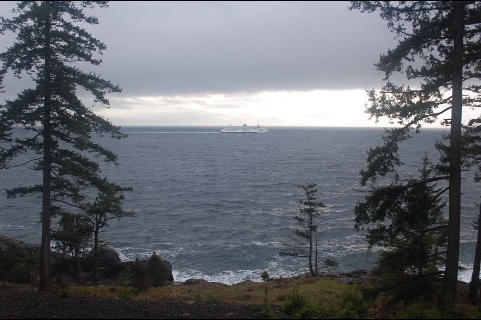
Many practical questions have been posed about the park’s feasibility, particularly on the transportation front. Currently only one road leads to the Cape, and no transit service extends that far. There’s also the matter of thousands of park and camp-goers reaching Bowen in the first place, following a 2022 summer season that saw consistent ferry overloads to and from the island.
Fitzpatrick says Metro Vancouver will be looking at a variety of sustainable ways for people to reach the park, with early ideas including shuttles from the ferry or mainland, extended bus access, or even a greenway path (such as the Multi-Use Path) for people who want to walk there from the Cove.
Further transportation methods which have also been suggested, but which Metro Vancouver say would require more intensive planning as they don’t yet exist, could be a passenger ferry to either the park or a more southern location on the island, or a second road to the Cape.
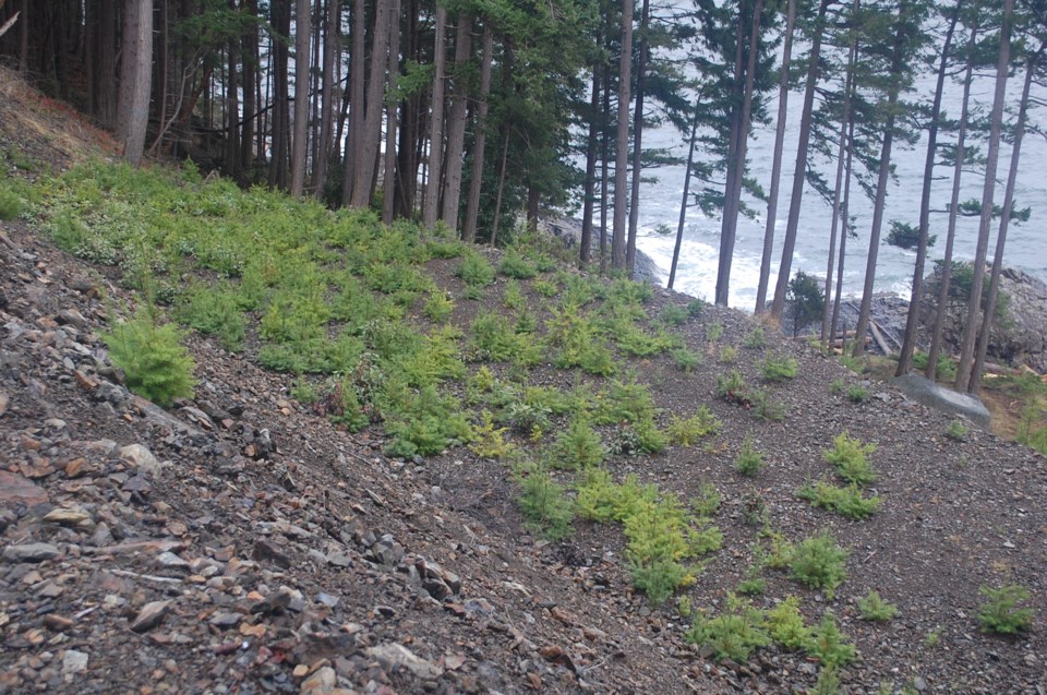
One area the park would have an advantage is the amount of infrastructure already in place, through a combination of past logging activity and anticipation of future residential development. Several existing skid trails form a natural template for a trail network, and logged areas provide clear swaths for buildings and other park amenities such as campsites.
Drilled wells and high speed internet cables are also present on the parcels to provide water and connectivity to the site. “All the servicing that we need is here. In some cases we would adapt that existing infrastructure, and in some cases we would maybe take it back a little bit and let the park be wild,” says Fitzpatrick.
In addition to infrastructure, plenty of prior work has also been performed on the environmental front, explains natural resource management specialist Robyn Worcester.
“This area has been identified since the 1920s as important ecologically… So for 100 years people have known this site is special and unique in the region,” says Worcester. “There’s been a ton of work on actually doing a lot of the ecological inventory and background information when they were planning to develop the site for building houses. So there’s a lot of great background work from local naturalists and also professional biologists that have been out here for years looking at this site,” she adds.
This includes the establishment of several protective covenants for the site’s various ecological features, such as the ocean, creek, rocky bluffs, and wetlands. “I’m super excited because I get to – hopefully – now find other important sites and locate spots where there may be things that people haven’t noticed, whether it’s certain birds nesting or bats roosting,” says Worcester.
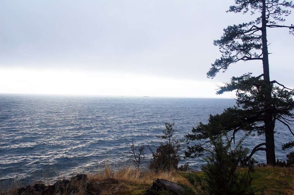
She especially notes the approximate 800-metre stretch of dry coastal bluff waterfront containing a variety of trees and vegetation on the eight lots bordering Bowen’s south shore. This type of landform makes up less than one per cent of British Columbia’s total area, and in most cases is privately owned.
“There’s very little that’s protected. So this site is hugely important to protecting the coastal dry ecosystem,” says Worcester, noting the diversity of trees including Arbutus, Shore Pine, and Maritime Junipers. “Those rocky bluff areas are all identified and that’s a hugely important aspect of the biodiversity of this site that we’d be protecting if it becomes a regional park.”
She adds the park would be designed using a combination of the Regional Parks Plan for the planning side, and the Natural Resource Management Framework for environmental stewardship and protection.

Fitzpatrick says he hopes residents will look to the island’s existing example as a basis for the proposed park. “We’ve managed Crippen Regional Park for decades and that balance of protecting natural systems and connecting people to nature is something that we found really great success for across the region, but especially with Bowen residents.”
“We work closely on so many fronts on the stewardship and usage of the park, and it’s really a well loved amenity. Typically we find as we work our way through the planning processes there’s all sorts of issues we need to listen to and learn about… but ultimately preserving natural ecosystems and working collaboratively in a good way with people on those is something we’ve had a lot of success in, and that would be the aim with this landscape as well,” says Fitzpatrick.
Phase One of the public consultation process will include two open houses on Bowen in March, both at the Bowen Island Community School. The first will take place Saturday, March 4 from 10 a.m. to 2 p.m., and the second on Wednesday, March 8 from 4 to 7:30 p.m.
A pair of webinars are also scheduled, on Thursday, March 9 from 5 to 7 p.m., and Friday, March 10 from 10 a.m. to noon.
Metro Vancouver has two further engagement phases planned following the March 20 close of Phase One. Phase Two is expected sometime in the Spring or Summer, with the final Phase Three set for Fall. They are hoping to have a park plan approved before the end of the year.
More information, including the feedback forms, can be found on the Metro Vancouver website.


