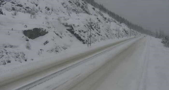
 Photo: Drive BC / Twitter
Environment Canada warns that a pacific frontal system is moving into the Northern B.C. interior and a winter storm will hit a B.C. highway.
The pacific frontal system is expected to move into the B.C. interior on Friday, Nov. 8 in the morning. Following this, an Arctic front will push its way through the region in the afternoon and then stall over the region on Saturday. During this period, long periods of snowfall are expected with total amounts of 30 to 40 cm forecast by Saturday evening.
The forecast calls for snowfall to begin over Pine Pass (Highway 97) Thursday and continue into the evening. What's more, freezing rain is also expected as well as five to ten cm of snowfall overnight. However, the more significant snowfall is expected on Friday night and Saturday.
The snow is expected to taper into flurries on Saturday evening.
Weather in the mountains can change suddenly resulting in hazardous driving conditions. For instance, as the snow increases, visibility may become severely reduced. As a result, you should be prepared to adjust your driving with changing road conditions during this time.


