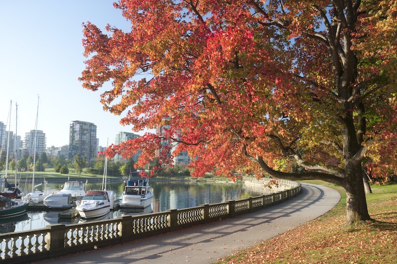
Canada's national weather forecaster says Metro Vancouverites can likely expect a warmer than average fall season this year.
Environment Canada is calling for a warmer than average autumn on the south coast of B.C. in its complete forecast released Sept.1 — the first day of meteorological fall.
But the lion's share of the warm weather will occur in September, notes Environment Canada Meteorologist Bobby Sekhon.
"That's what the seasonal climate model is showing. A greater likelihood [of warm weather] for September and relatively less likelihood for October or November. Nonetheless, the trend over the three months should be above average [temperatures]," he tells Vancouver Is Awesome.
This winter La Niña could also impact temperatures in the Lower Mainland region, as well as the amount of snow. Currently, Sekhon says models are indicating that there is a "medium" chance of a weak La Niña this winter but that its effects won't show until December.
La Niña conditions are defined as "the appearance of cooler than normal waters in the eastern and central Pacific Ocean," as in the waters off B.C.'s coast. Sometimes also referred to as "a cold event," the climate pattern is generally considered to be the opposite of El Niño, and is usually great news for skiers and snowboarders hoping for a season full of champagne powder.
La Niña is thought to occur due to increases in the strength of the normal patterns of trade wind circulation.
For now, however, Sekhon notes that fall forecasts are historically the hardest to provide. "The fall has the least skill in the seasonal climate models."
In the winter, years with strong La Niña or El Niño signals provide higher skill for the models.
With that said, Sekhon expects some warm and dry conditions to continue through the week with some cooler, wetter conditions over the Labour Day long weekend.
November is historically the wettest month in Vancouver, however, with an average of 189 mm of precipitation. In contrast, September has an average of 51 mm.
With files from Megan Lalonde


