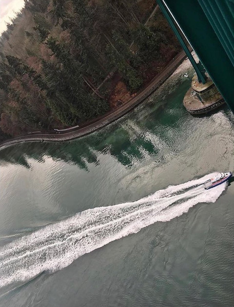
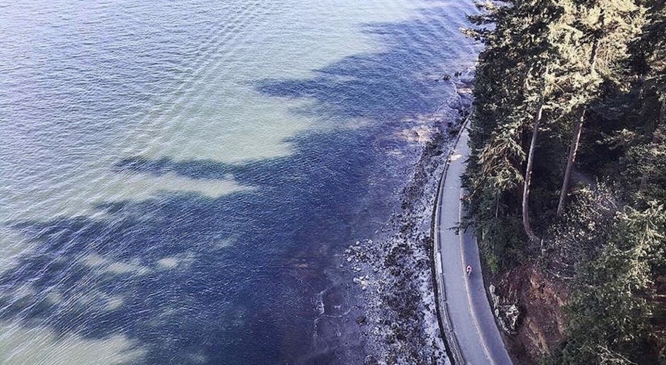
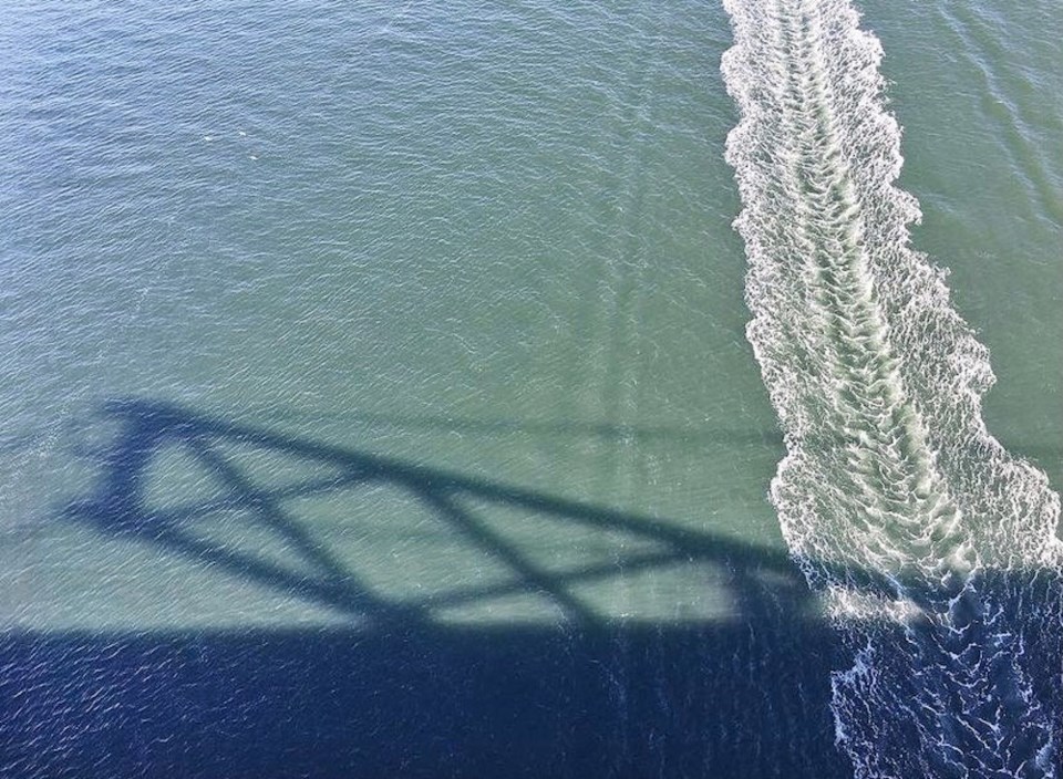
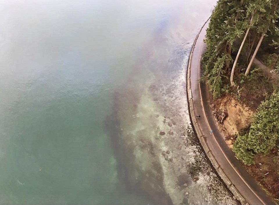
A photograph that a local woman took over the Lions Gate Bridge shows a breathtaking perspective of the shoreline disappearing into the ocean.
Elizabeth George lives in Coal Harbour and tells Vancouver Is Awesome that she used to walk from the North Shore to Coal Harbour frequently.
She took the awe-inspiring snap five years ago and shared it on Reddit this week. In her post, she remarks that the image was taken on a "potato quality" phone but that she loves how it shows how the land disappears into the water.
A couple of people comment that the "potato phone" was able to take a rather impressive snap, while others marvel at the clarity of the water.
Reddit user VancouverCitizen also mentions that "It would be cool to see an elevation map of what's under the water in the Burrard Inlet" and someone replies with a link to a Burrard Inlet Depth Chart.
Striking snaps from popular Vancouver viewpoint
Have a look at some other photos George snapped on her walk on the Lions Gate Bridge.
 Photo courtesy of Elizabeth George
 . By Photo courtesy of Elizabeth George
 Photo courtesy of Elizabeth George
These stunning Vancouver viewpoints let you see for miles and miles
With lush forests, awe-inspiring coastlines, soaring mountain ranges, and wildlife galore, our port city is famous for its beauty.
Whether you are looking to stargaze, soak in a sunset, or simply see a sweeping perspective of the Lower Mainland, there are several places to do so near the city.


