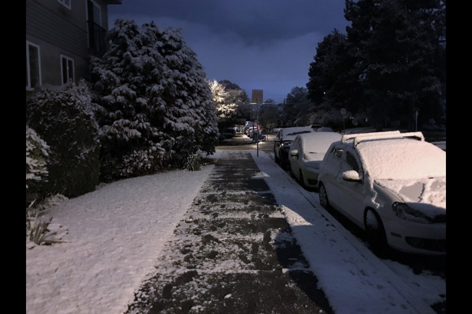
While wet flurries were in the forecast, many in Vancouver were likely dubious the night of Nov. 7 would see snowfall in Vancouver.
The forecast, as anyone with a window or who went outside last night or this morning saw, was correct.
Around 2 cm of snow fell and stuck at Environment Canada's weather station at Vancouver International Airport says Alyssa Charbonneau, a meteorologist with the federal agency. In many other parts of the city, like areas further from the ocean or with a higher elevation, much more blanketed the ground.
It's a couple of weeks earlier than many expected.
"October 28, 1991, was the last time that we received snow on any date earlier than this," says Charbonneau. That was 31 years ago; people who have kids in elementary school may have never seen snow in Vancouver this early.
October 28 is actually the earliest the city has ever recorded snow at the airport.
Nov. 7 is inside the top ten for earliest snowfalls says Charbonneau, sitting sixth.
While Vancouverites awoke to a blanket of snow this morning, counterparts in other parts of the country where snow is commonplace in November haven't seen a flake yet.
Charbonneau says places like Toronto, Montreal, and Halifax are still snow free after a heat wave went through the area.
"It does seem Vancouver has beaten them to the punch this year," she says.
However, Vancouver wasn't the first part of the country with snow, as northern Canada and the prairies are already well covered.
Going forward, Charbonneau says things will dry out this week, but cold temperatures will stick around for a bit.
"The south coast of B.C. is in a stretch of dry weather, but remaining cold, particularly today and tomorrow," she tells Vancouver Is Awesome.
Some areas outside of Metro Vancouver, like Howe Sound and the Fraser Valley, will see strong outflow winds she adds, which will increase the wind chill.
Going into the weekend, temperatures should begin to climb again, but will likely remain below the average for this time of the year.


