
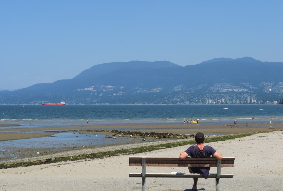
Summer is still in full swing in Metro Vancouver, and the mercury will agree this week.
The upcoming week will be filled with sunshine, according to forecasts, and above average temperatures, but nothing too high. Environment Canada meteorologist Philippe-Alain Bergeron tells V.I.A. it's "just going to be sunney and warm" and it's "not going to be a heat wave."
"There are no major changes over the next few days," he tells V.I.A. on Sunday, Aug. 4.
Temperatures on Sunday will likely remain above average, topping out around 25 C near the ocean and closer to 28 C in land (though, with the humidex, it may feel as high as 33 C in some areas).
"We're forecasting exactly they same for tomorrow," Bergeron adds.
Overnight temperatures should be around 15 or 16 C he notes.
On Tuesday, Aug. 6 there may be a subtle change people notice, with some cloud cover in the morning, especially in southern parts of the Metro Vancouver region.
That should burn off in the morning, Bergeron explains, but it will likely keep the day a bit cooler.
However, that's just a Tuesday event, and Wednesday will be back up to 25 C on the coast and 28 C inland.
These are higher than average temperatures for Vancouver, but for Environment Canada to declare a heat wave temperatures need to hit 29 C two days in a row at their weather station, and not drop below 16 C overnight.
Those temperatures will likely last through the week Bergeron adds, but there will be a small shift in the weather as high pressure ridges will likely move midweek.
That will likely mean instead of weather coming from the ocean, Vancouver will see air moving from the interior west to the coast.
"Then we would be cut out of the marine air," Bergeron says.
That may not make much of a difference in regards to sunshine or temperature, but it may mean drier air compared to the current air mass, though not as dry as one might expect.
"It might be a bit drier, but it's not desert air either," he explains. "There's a lot of moisture and tropical air that's been getting into the interior of B.C.; it's not quite as dry as its often is."
It may also mean some smoke from interior fires moving over the city, but not into the city.
"It's really staying aloft," says Bergeron. "So the mountains might actually have poorer air quality than at sea level."
"We might see the haze," he adds. "But right now it doesn't look like the lower mainland will have a significant pollution event due to wildfire."


