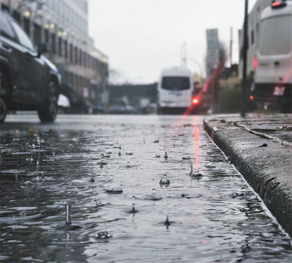
Environment Canada has issued an official special weather statement for the third of three rainstorms forecast to hit the Lower Mainland in a span of several days.
The third storm is expected to make landfall Monday (Nov. 29) night or Tuesday morning, bringing with it another 50 to 100 mm of precipitation to Metro Vancouver, the Fraser Valley, Howe Sound, Whistler and the Sunshine Coast. This is a new warning after the last storm (and the accompanying warnings) ended Sunday evening.
"The third atmospheric river in just under a week will once again give rain heavy at times over the British Columbia south coast," states Environment Canada.
It's expected to last through Wednesday.
AccuWeather called the Pacific Northwest rainstorm activity this past week a "parade of storms" as three systems arrived and warned that the warmer weather might cause even more water to flow.
"Higher temperatures accompanying these systems will lead to snowmelt in the Washington Cascades and the Canadian Rockies which will further intensify the potential for flooding," said AccuWeather meteorologist Dana Carron.
In Abbotsford, water from the U.S. is causing more concern for city officials as many watch the Nooksack River overflow its banks. That water will make its way into Canada south of the flooded Sumas Prairie due to the geography of the land. The water already there has meant the closure of Highway 1 between Abbotsford and Chilliwack again.
On Sunday, the province's public safety minister noted that the incoming storm may be the most intense of the three.
"More heavy rains mean people in the north, central and south coast, on Vancouver Island, in Abbotsford and the Sumas Prairie are facing an extremely volatile situation,” Mike Farnworth said.
Along with the heavy rains Environment Canada is warning of wind gusting up to 60 km/h for areas near the Strait of Georgia.


