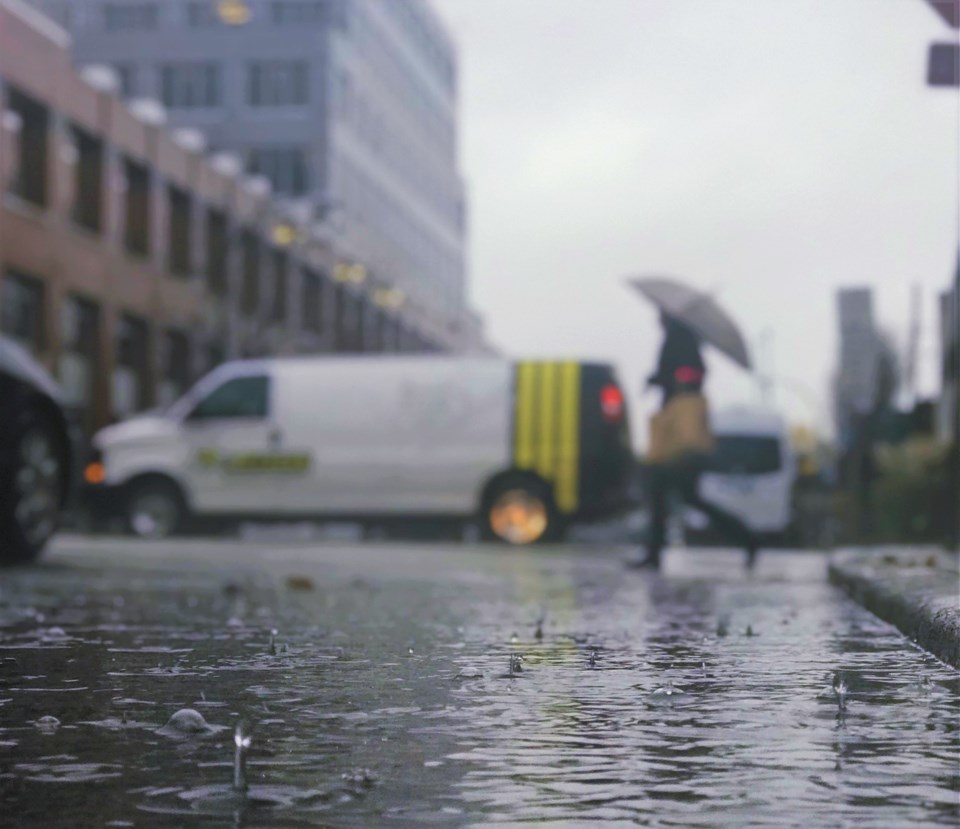
The fall of 2021 was quite a season.
Vancouver saw weather bombs, seven atmospheric rivers in a month and a tornado, among other things. And along with all of that came the rain.
The City of Vancouver, pelted with near-constant rain for three months, smashed its record for rainiest fall on record (which meteorologically speaking runs from Sept. 1 to Nov. 30) says Environment Canada warning preparedness meteorologist Armel Castellan.
Over September, October and November 611.5 mm of rain fell here. That breaks the old record of 531.9 mm in 1996, smashing it by almost 80 mm; in meteorological terms, that's a lot. And records go back over 120 years.
On average we see 364.4 mm, so this year we got 168 per cent of the usual.
But it wasn't the most, with Abbotsford getting an "astounding" 884.5 mm over the three months; the average there is 475 mm.
"The previous wettest fall for Abbotsford was 2016 and was only 666 mm, so you overshot that in Abbotsford by over 200 mm which is absolutely jaw-dropping," says Castellan.
And in Victoria, where the total wasn't as high, the difference from the usual was massive; at the Victoria Gonzales station they had 509.6 mm, compared to the normal of 230.1 mm. That's 221 per cent of the normal.
"Honestly, for a seasonal record to be broken by that much, I don't know if I've ever seen that," Castellan says.
While daily records can vary quite a bit, for an entire season to break records by those numbers is extremely unusual, given that it requires such a long pattern of weather.
Speaking of daily record for a second, Penticton set a heat record on Dec. 1; it was 22 C in the South Okanagan town, that's the highest temperature ever recorded in Canada in December.
Castellan notes that everyone will remember the atmospheric river storm that dropped over 250 mm of rain on areas like Hope and the Coquihalla between Nov. 13 and 15; he says it's likely the most financially impactful weather event in the nation's history, and happened just months after the deadliest weather event in Canada (the mid-summer heat dome).
He adds that the situation was exacerbated by soil conditions which were already saturated after two months of rain, meaning water wasn't able to soak into the ground.
And that was followed by back-to-back-to-back significant atmospheric rivers, each dropping up to 100 mm on areas.
"That was essentially adding insult to injury," Castellan says.
Things could have been worse, though. He notes there were multiple weather bombs (when there's explosive cyclogenesis, a term for the rapid pressure drop over an area that's part of bomb cyclone).
One massive one luckily didn't hit Vancouver; to be a weather bomb a drop in pressure of 24 hectopascals has to happen in 24 hours; the one off the coast of B.C. dropped closer 40 hectopascals in 24 hours, but changed directions instead of continuing west.
Castellan says if that had happened over Vancouver it would have led to high winds and hundreds of thousands without power, if not more. And it would have happened in early November.
"It is hard to say we got lucky, that it could have been worse, but it easily could have been," he says.
While not as extreme as the other events, temperatures were high throughout November, even for Vancouver.
"7.5 C was the mean," Castellan says. "Normally it's 6.3 C. That's a 1.2 degree anomaly."
Over a month that's notable he says, but expected as seven atmospheric rivers flowed over the Lower Mainland. They aren't rare, he adds, with up to 25 over the fall, winter and early spring, but they're often not as intense as the last few have been. And with them comes higher than usual temperatures.
"November was a fairly extraordinary month in several respects," Castellan says.
Oh, and there was a legitimate, measured, rated tornado that started off the coast of the Vancouver airport and came aground at UBC. And it wasn't a little waterspout that happen once in a while in the Strait of Georgia.
"It had a supracellular structure," says Castellan. "There was deep, organized convection."
Nothing like it has been recorded near Vancouver in November, he notes.
"To see a rated tornado just goes to show how extraordinary 2021 has been," Castellan says. "And, without question, November as well."


