There are secret hikes, and then there are lesser-known ones.
The former are often illegal, so we’ll focus on the latter. Hard-core hikers will likely already be familiar with these trails.
With that caveat, we present five under-the-radar hikes near Vancouver, courtesy of local author Stephen Hui.
The following descriptions come from Hui's book, 105 Hikes in and around Southwestern British Columbia.
Whenever you head outdoors, be sure to Trip Plan, Train and take the essentials – the three T’s. You can learn more about trip planning via North Shore Rescue.
1. Conflict Lake
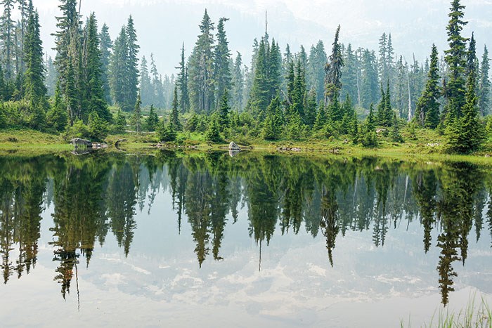 Pond along the Conflict Lake Trail. (Photo by Stephen Hui)
From Callaghan Lake Provincial Park, near Whistler, the Conflict Lake Trail goes west into the Callaghan Conservancy and up the Solitude Valley. The trail wanders through lonely subalpine meadows in the territories of the Squamish and Lil’wat First Nations.
Dark-eyed juncos flit among wildflowers such as arctic lupine, red paintbrush, and subalpine daisy. Ponds make for postcard mountain scenes. (Hike 34).
2. West Knob
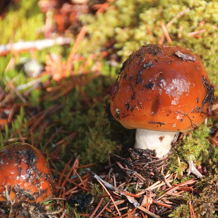 Macrofungi on the West Knob. (Photo by Stephen Hui)
West Vancouver’s Whyte Lake Park preserves old-growth trees and provides a vital link between Nelson Canyon Park and Cypress Provincial Park. A hike to Whyte Lake and the West Knob visits all three parks, which lie in the territories of the Musqueam, Squamish, and Tsleil-Waututh First Nations.
Ascend the dark lower slopes of Black Mountain to the rough Donut Rock Trail. From the viewpoint, look down at Bowen Island (Nex?wle?lex?wem to the Squamish) in Howe Sound (Atl’Kitsem) through the treetops. (Hike 16).
3. Mount Crumpit
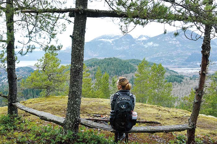 Wooden bench on Mount Co-Crumpit. (Photo by Stephen Hui)
A hike up Mount Crumpit earns striking views of Slhaney and Stawamus Chief Mountain (Siy’ám’ Smánit), in the heart of Squamish Nation territory. It’s easy to get lost in these mixed woods, so don’t set off without the Squamish Off-Road Cycling Association’s trail map.
Follow a steep and scrambly trials-motorbike trail up Mount Co-Crumpit, then ascend Stairway to Heaven to Mount Crumpit. Just past the summit is a lovely lunch spot. (Hike 24).
4. Evans Peak
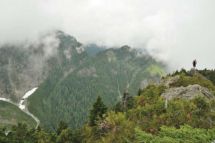 Cloudy day on Evans Peak. (Photo by Stephen Hui)
Although this outing in Golden Ears Provincial Park — Katzie First Nation territory — is not suitable for novices, young kids, or dogs, the airy summit ridge is an excellent day trip for experienced hikers. Unrelentingly steep, the path to Evans Peak is rough but well defined and marked.
Exercise caution as the route comes uncomfortably close to drop-offs en route to the top. Waterfalls plunge and snow caves lie at the foot of Edge Peak to the northwest. (Hike 56)
5. Triangle Lake
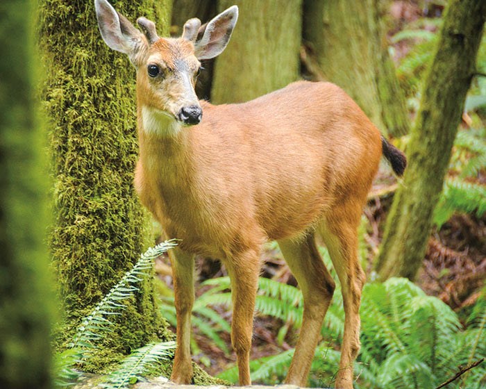 Black-tailed deer, spotted from the Colvin Creek Trail. (Photo by Stephen Hui)
Triangle Lake is a sphagnum bog that’s known as s-ch’ewk’ (a reference to frybread) to the shíshálh Nation. Viewpoints with benches overlook the serene wetland.
Found in Sargeant Bay Provincial Park on the Sechelt Peninsula, this hike visits a mossy second-growth forest of Douglas-fir, western red cedar, and western hemlock. Columbian black-tailed deer are a common sight. (Hike 84)
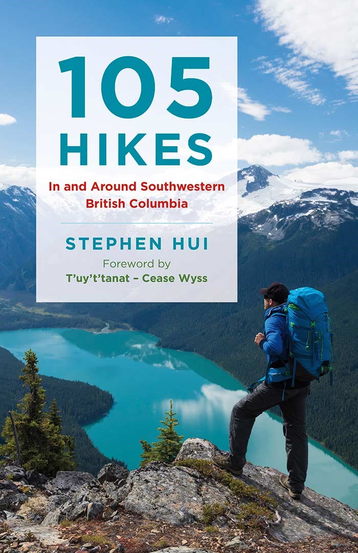 105 Hikes in and around Southwestern British Columbia by Stephen Hui.
105 Hikes in and around Southwestern British Columbia is available at bookstores everywhere.
This user-friendly guide builds on the legacy of David and Mary Macaree’s iconic 103 Hikes, the province’s most popular and most trusted hiking guide to date. Now fully updated and expanded, this latest book offers a more varied and extensive array of hikes than ever before. It’s packed with useful tips, options for hikers of all abilities, beautiful nature photography, and detailed topographical maps—everything Vancouverites need to make the most of their stunning natural surroundings.
* Remember, dogs should be leashed on all of these hikes. Remember to pack the 10 essentials, check conditions, leave a trip plan with a reliable person, and practice minimum-impact hiking.


