Like many folks who grew up in Metro Vancouver, I've visited the dam and hatchery in Capilano River Regional Park more times than I can count. Nevertheless, until recently, I had never properly explored the trails of this park in North Vancouver.
From the Cleveland Dam, we embarked on an easy, two-hour circuit that covered seven kilometres and involved an elevation gain of 120 metres. First, we hiked south on the Upper Shinglebolt Trail and Capilano Pacific Trail to a viewpoint on the west side of Capilano Canyon. (The Capilano Pacific, part of the National Hiking Trail, runs all the way to Ambleside Park.)
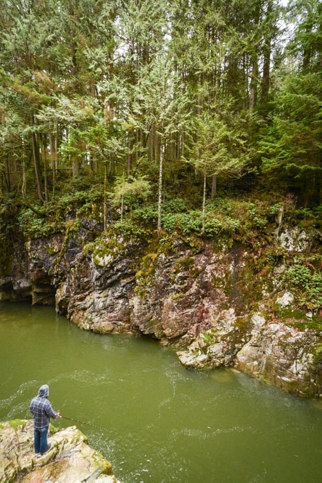
 Cable Pool. Photo: Stephen Hui.
Backtracking, we crossed the river on Pipeline Bridge, and strolled the Pipeline Trail, Chinook Trail, and Coho Loop to the viewpoint at Cable Pool, where we observed a couple of fishers. After recrossing the river, we made our way to the Second Canyon viewpoint, which offers visitors a dramatic look up the gorge to the dam.
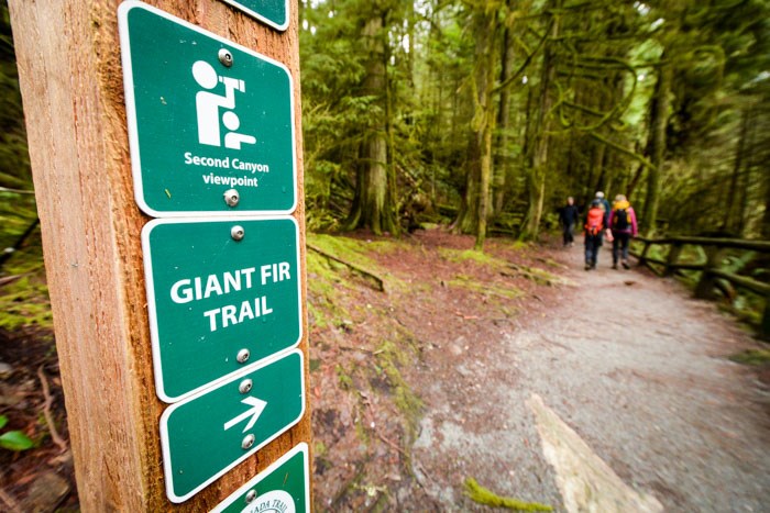
Old-growth Douglas-fir trees awaited us on the Giant Fir Trail. After we crossed the Cleveland Dam to conclude our hike, we spotted a bald eagle. The snow looked magnificent on the twin peaks of Ch’ich’iyuy Elxwikn (the Sisters, also known as the Lions).
 Giant Fir Trail. Photo: Stephen Hui.
Capilano River Regional Park — not to be confused with the adjacent and privately owned Capilano Suspension Bridge Park — lies in the territories of the Musqueam, Squamish, and Tsleil-Waututh First Nations. TransLink buses 232 and 236 both stop near the Cleveland Dam on their way to and from Grouse Mountain.


