When people from Vancouver drive east through the Fraser Valley and on to the Coquihalla Highway or Crowsnest Highway, they sometimes quip that they are “beyond Hope”. However, the lovely mountain scenery that surrounds Hope, a district of 6,000 residents, is certainly no joke.
One of these peaks, rising to the southeast, is the municipality’s namesake, Hope Mountain. Getting there requires navigating the rough Mount Hope Forest Service Road, which leaves Highway 3 east of its junction with Highway 5. Only four-wheel-drive vehicles can make it all the way to the trailhead, shared by nearby Wells Peak.
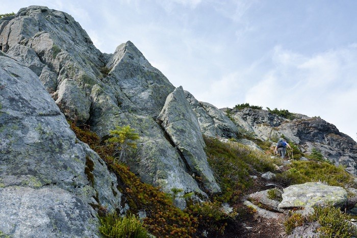
The Hope Mountain trail begins by losing a bit of elevation before rising to the divide between Four Mile Creek and Alexander Creek. Then it’s a walk on an old, easy-going logging road before the trail climbs steeply to the 1,844-metre-high summit.
 Hiking up Hope Mountain. Photo: Stephen Hui.
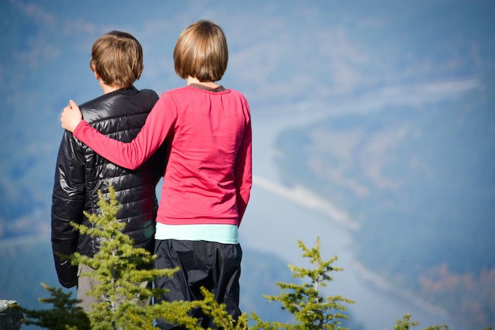
Although three radio repeaters litter the mountaintop, the panoramic views more than compensate. From the summit cairn, you can see the Fraser River emerging from the Fraser Canyon, Ogilvie Peak on the opposite side of Hope, and the mountains around Coquihalla Pass. An outcrop on the other side of a pond just below the summit offers a prime spot from which to admire the shapely Silverhope Creek valley and spot Mount Baker towering over the North Cascades.
From the trailhead, it’s a nine-kilometre round trip with 690 metres of elevation gain. In October, this took my party three hours up and six hours return, with a leisurely lunch on top.
 Enjoying the view from the top. Photo: Stephen Hui.
Anyhow, Hope Mountain is a hike to put on your list for next summer. The recent snowfall on the mountains of southwestern B.C. means it's time to get excited about snowshoeing — and to be aware of avalanche risk.


