
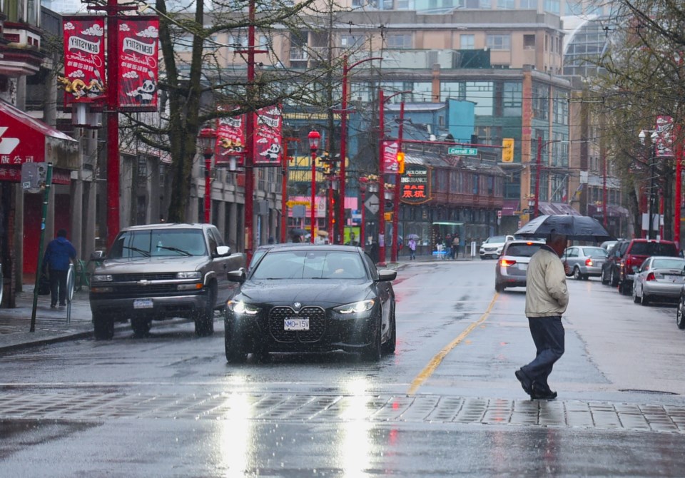
Metro Vancouverites banking on sunshine and warm temperatures following a weekend drenching shouldn't hold their breath.
Environment Canada meteorologist Colin Fong says a ridge of high pressure will build overnight on Monday, March 24, but it isn't as strong as expected. Plus, the atmospheric river continued to bring moisture to the region, with numerous weather stations recording significant precipitation over 48 hours.
Port Moody Glenayre received 68 mm of precipitation, Burnaby Mountain recorded 66 mm, Coquitlam had 65 mm, Fort Langley Telegraph Trail received 61 mm, Pitt Meadows recorded 60 mm, Surrey East had 56 mm, Langley received 54 mm, Cloverdale East had 50 mm, and West Vancouver recorded 47, according to the department's Metro Vancouver weather summaries.
The heaviest rainfall was on Sunday and Sunday night, Fong explains. "We were optimistic [the rain] would lift on Monday but it looks like now it could hang on into Tuesday."
Fong notes that the precipitation through Monday and into Tuesday morning will fall in light to moderate amounts, regionally dependent. Mountainous areas could see up to 20 mm while low-lying areas may see low accumulations.
"It is looking like steady light rain and not the type of rain that would maintain a warning," he adds.
Metro Vancouver weather forecast includes temperatures 5 C to 10 C above the seasonal average
On Tuesday, a ridge of high pressure will keep conditions drier through the day and temperatures 5 C to 10 C above the seasonal average are expected. In Metro Vancouver, temperatures between 16 C and 19 C are expected. In the Fraser Valley, they could climb as high as 20 C in Abbotsford, Fong says.
"The ridge of high pressure will move in on Tuesday but it isn't going to be as influential as we thought," he notes, adding that the weekend weather system may linger into Tuesday morning.
"The ridge will clear things out by Tuesday afternoon and will be in the area on Wednesday but not as strong."
On Wednesday, temperatures will remain elevated but scattered showers are expected in the afternoon with a risk of thunderstorms due to an unsettled airmass as the ridge of high pressure breaks down.
Beginning Wednesday night, a low-pressure system off the Pacific will bring steady rain and wind to the region. The wet weather event is expected to continue through Friday.
"It is not an atmospheric river but will produce a good soaking," he comments.
Remnants of the storm may linger through Friday night with intermittent showers but conditions are expected to ease Saturday. Sunday is expected to be the next dry day.
"It's just going to be wet, unfortunately," he says. "We are through the worst of it on Sunday."
Stay up-to-date with hyperlocal weather forecasts across 50 neighbourhoods in the Lower Mainland with Weatherhood.


