
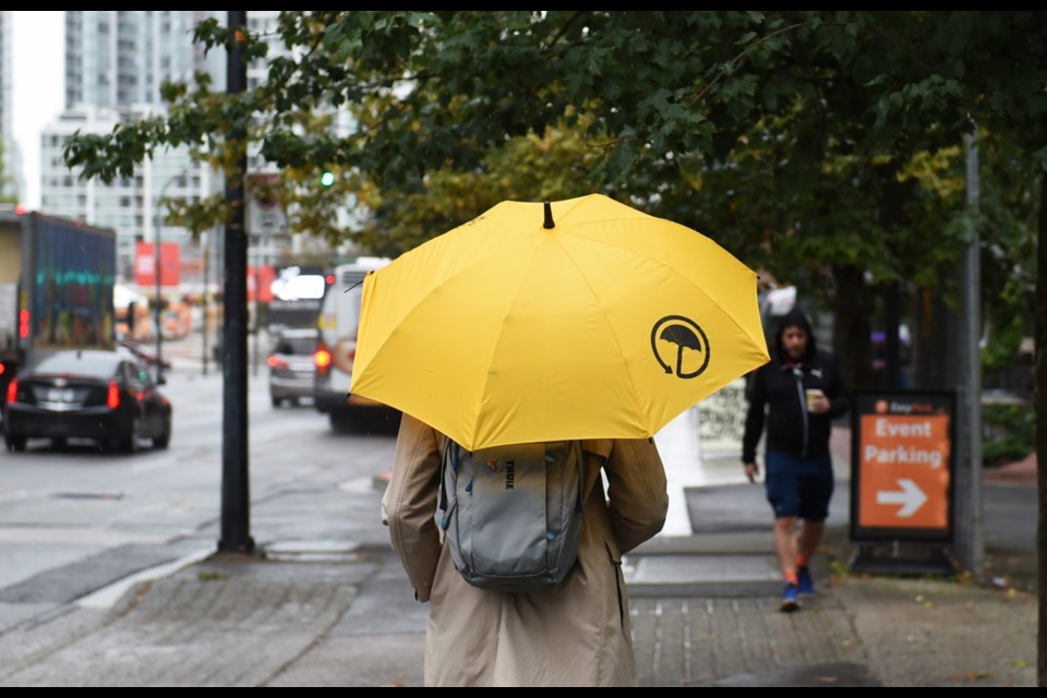
As summer slips away and autumn arrives, damp and stormy weather is reappearing in the Metro Vancouver forecast.
Cooler air from the Gulf of Alaska is moving into the region, and causing some instability in the atmosphere starting Friday afternoon, Sept. 13, which will remain through the weekend, Environment Canada meteorologist Ymei Li tells V.I.A.
And that could lead to thunderstorms and lightning on Saturday.
"There might be a risk of storms during the day on Saturday, along with the potential for showers as well," she says, adding that the risk is small, but exists across the south coast.
If there is a thunderstorm it wouldn't be a large one, Li adds.
Thunderstorms rely on warm temperatures at sea level and relatively cooler temperatures higher up, so the chance and size of the storm depend on how warm Metro Vancouver remains at sea level and how cold the air arriving from the north is.
Over the weekend, an average of between 5 to 15 mm of precipitation is expected Li adds, but there could be locales that receive downpours as well. Saturday is expected to be wetter than Sunday.
Metro Vancouver weekend weather: How much rain in Lower Mainland communities?
Weatherhood's forecast shows while showers may be a little worse in some neighbourhoods, the whole Metro Vancouver region will probably get damp at some point on Saturday.
In North Vancouver neighbourhoods like North Capilano, there's an 80 per cent chance of showers with up to 11 mm falling on Saturday. Similar predictions exist in communities in the north and across to Pitt Meadows where up to 19 mm could fall, according to Weatherhood.
Meanwhile, the chance of showers is a little lower in southern communities, around 70 per cent, but Langley is showing up to 17 mm and Ladner about 8 mm.
On Sunday, the chance of showers in most neighbourhoods drops by about 30 per cent, and amounts drop to between 1 mm (for example, Burnaby West) and 9 mm (Steveston) with southern areas likely to see more than northern areas.
At the same time, while cool air is arriving above Vancouver, cooler temperatures aren't expected at ground level, with regional highs around 19 C throughout the weekend, which is around the seasonal norm.
Next week's weather at a glance
Looking beyond the weekend there will be a short break before rain returns to the region.
"Monday is looking like a nice, sunny day," Li says. "But it's just a short break."
More instability is expected Tuesday with rain arriving, although it's not expected to be significant.
"Looking at the models there isn't a strong system," Li says of next week.
Again, temperatures will remain close to the norm for the season with next week sitting around 18 C.
Stay up-to-date with hyperlocal forecasts across 50 neighbourhoods in the Lower Mainland with V.I.A.'s Weatherhood.


