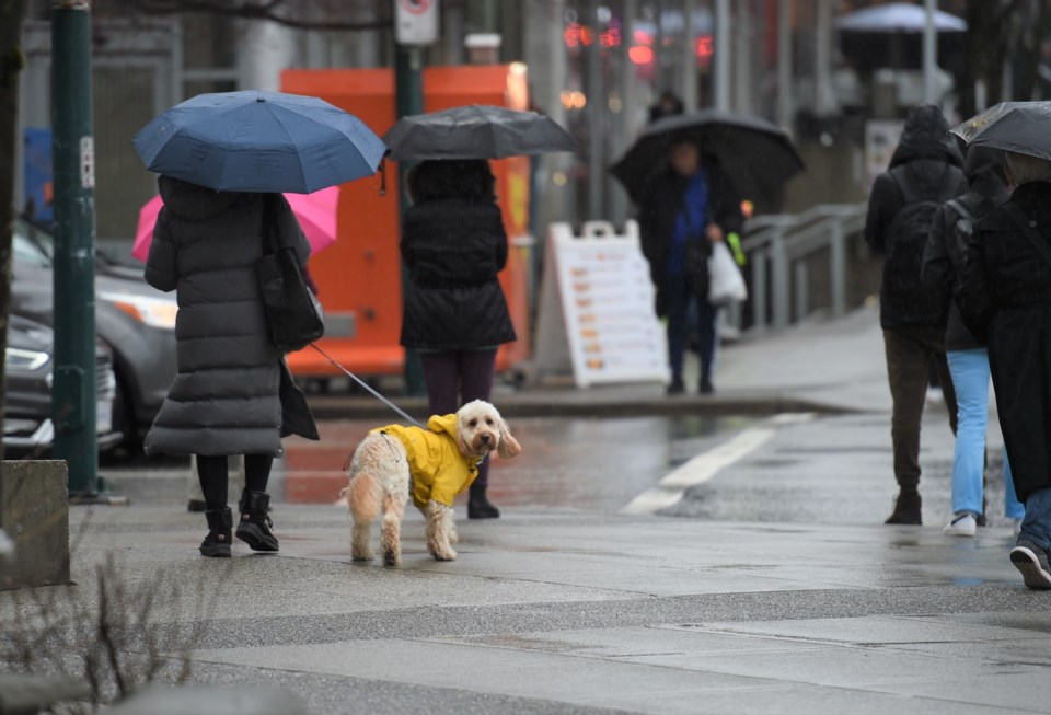
Metro Vancouver's string of sunny, dry weather is about to end.
Wet, windy, wintry weather is the forecast in a nutshell, says Environment Canada meteorologist Matt Loney.
"We're looking at rain for the next while, really," he tells V.I.A.
A ridge of high pressure that's been keeping the skies clear over Metro Vancouver is headed east on Thursday, Dec. 12, and a system is expected to move in from the Pacific.
The Thursday system will lose strength as it encounters the ridge, Loney notes, meaning Metro Vancouver is predicted to see showers instead of heavier rain and seasonal temperatures between 6 C and 4 C.
"The next system coming in for Friday night is a bit more potent," he says. "There will be periods of rain to start the weekend."
That system, once it arrives in Vancouver, will likely bring between 20 and 40 mm of rain to the city, with higher amounts at higher elevations on the North Shore Mountains. The ski hills will likely see some snowflakes.
Temperatures on Friday are forecast to be between 7 C and 5 C.
However, it's the winds that Environment Canada is watching.
"We're looking at a fairly windy system, and so that's something we're watching pretty closely," says Loney. "It's not like the bomb cyclone, but a normal windy system that we'd see for the coast."
Exactly what the wind speeds will be is still being determined, but it'll depend on what happens with the Thursday system.
"We don't have much confidence in the track of the (Friday night system)," says Loney. "There's a number of things that have to transpire first."
Vancouver won't see the worst of the wind, though. Richmond and parts of Delta, such as Tsawwassen, will likely see the highest speeds, he adds.
After that system passes on Saturday, an unstable air mass is expected to remain for the rest of the weekend and into next week, meaning showers and grey skies, but no significant weather events for a few days.
Unusually, a spike in temperatures is forecast on Saturday, with a high of 11 C and a low of 6 C. That's because after the system passes, winds from the southwest will sweep in, bringing above-average temperatures.
That won't last long, though. Sunday is predicted to return to seasonal norms as a cold air mass moves in, dropping overnight lows to 2 C.
Stay up-to-date with hyperlocal forecasts across 50 neighbourhoods in the Lower Mainland with V.I.A.'s Weatherhood.


