
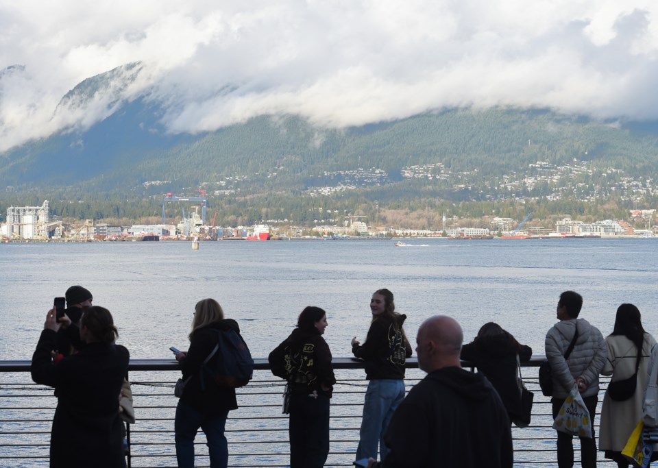
After a sunny weekend with blue skies to start March, Vancouver will see more typical late winter and early spring weather this week.
That means more clouds, showers, and some rain, according to Environment Canada meteorologist Gary Dickinson.
"It's a bit of a change from the weather we experienced over the weekend," he tells V.I.A. "It looks like temperature-wise highs should range between 10 and 12 C. It's basically what we see for this time of the year."
The nice weather will end Sunday night.
"Monday, there will be a slight change in the forecast," Dickinson says, explaining there will be clouds with a 30 per cent chance of showers to start the week off.
Tuesday will see more serious precipitation, but nothing too notable for Vancouver.
"An area of low pressure is going to arrive on Tuesday," Dickinson says. "That's going to bring periods of rain and blustery conditions."
The low-pressure system won't last long and a ridge of high pressure will begin to build in strength Wednesday over Metro Vancouver. That means it may start off cloudy, but the skies will clear up.
Through the end of Wednesday, overnight and all through Thursday, the skies are expected to stay clear.
"It looks like the dry weather does come to an end with another weather system arriving Friday," says Dickinson.
He calls it a "typical Pacific frontal system," which, while wet and blustery, shouldn't challenge Vancouverites. It's expected to carry into the weekend.
Stay up-to-date with hyperlocal forecasts across 50 neighbourhoods in the Lower Mainland with V.I.A.'s Weatherhood.


