
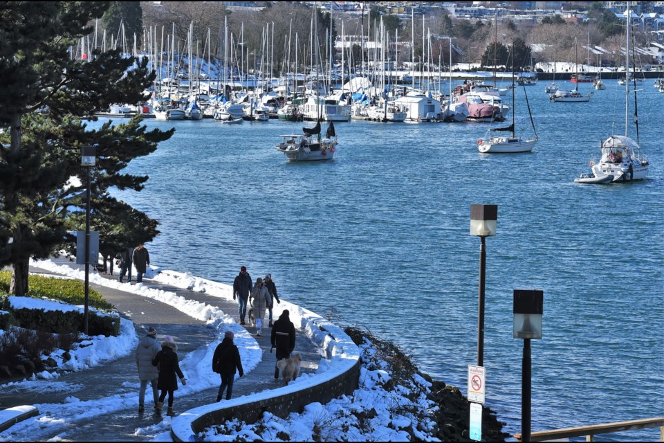
Vancouver will be seeing a lot of sun this week, though it won't feel that warm.
A high-pressure ridge full of arctic air will be sitting over B.C.'s Interior for the next several days, according to Environment Canada meteorologist Nan Lu, which will keep the skies clear, but temperatures cold.
"For tonight through Tuesday, we're expecting clear skies, dry conditions, and cold periods," she tells V.I.A. Sunday, Feb. 9.
"With wind chill down to -10 to -15 C."
Highs of just 1 C to 3 C across Metro Vancouver are expected through to Wednesday morning, Lu adds.
"The coldest temperatures will be Monday night, "she explains, noting Tuesday morning, Feb. 11, commuters may see temperatures as low as -7 C, with wind chill dropping Vancouver neighbourhoods to -13 C as people head to work.
Temperatures are expected to rise beginning Wednesday, Feb. 12, but only gradually. The ridge of high pressure is expected to move east on Wednesday, which will draw the arctic air with it. However, no new system is expected to replace it, meaning the cold air won't dissipate quickly.
"The region will still be under a ridge of high pressure through midweek," Lu explains.
While no precipitation is expected to add to the snow and ice on the ground, what's already on the ground won't be melting quickly, as daytime highs will just peek over the freezing mark at the hottest part of the day.
"There could be some slight melting of the snow and ice on the ground, but not significant," Lu says.
Highs on Wednesday, Thursday, and Friday (Valentine's Day) will only be around 3 C to 5 C, with overnight lows down to -4 C.


