
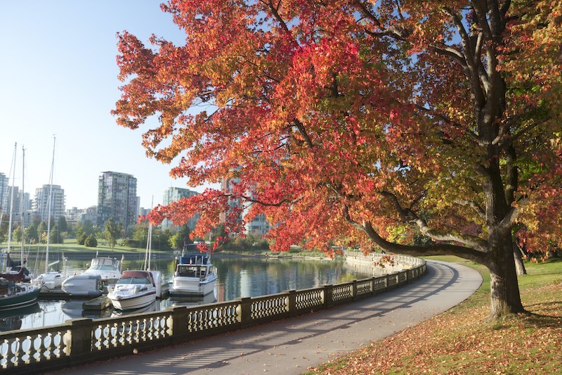
Metro Vancouver may have a warmer fall but locals shouldn't brace for a second summer.
Environment Canada meteorologist Ken Dosanjh says the start of meteorological fall (Sept. 1) shows above-normal temperatures for the first two weeks.
A hot event is expected on Sunday, Sept. 1, when temperatures in the Lower Mainland could reach the upper 20s and as high as the low 30s inland. However, Dosanjh notes that the hot temperatures won't last long enough to meet heat warning criteria.
Temperatures are expected to drop after Sunday, falling to around the seasonal average on Monday (Labour Day) and Tuesday.
Heading into the rest of next week, temperatures should rise as a ridge of high-pressure moves into the region. Since the days will be shorter and the nights longer, they won't feel as warm as they have over the past weeks, said Dosanjh.
Summer-like conditions are expected to wane in mid-September as a broad upper trough brings cool air into the region. Dosanjh notes that this shift could signal the "first real hint of fall" and may feel similar to recent rain events in the region.
Metro Vancouver weather forecast includes warmer fall
September shows an above-average signal for temperatures but locals shouldn't expect toasty weather through the month. Dosanjh said the warmer temperatures in the first couple of weeks could skew the monthly outlook.
The meteorologist adds that September shows "very subtle signals of above-average temperatures for the South Coast and most of the province," while forecast confidence is greater in eastern Canada.
Environment Canada calls for above-average temperatures to continue through October and November with "low probability."
Dosanjh notes that this winter will likely be a La Niña year in the Lower Mainland, which is typically "wetter and cooler" but this isn't always the case. Previously, these years have been a boon for local alpine enthusiasts who look forward to slopes of champagne powder.
In 2022, the Lower Mainland entered a third La Niña winter; the last time there were three in a row was in 1950. Typically, the weather phenomenon oscillates with El Niño years, which occurred this past winter. Those years typically see warmer and drier conditions.
Stay up-to-date with hyperlocal forecasts across 50 neighbourhoods in the Lower Mainland with V.I.A.'s Weatherhood.


