
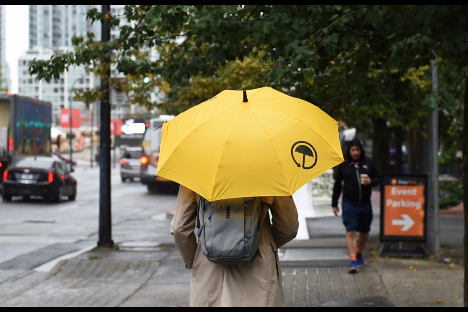
While patchy showers and grey skies will dominate Vancouver's weather most of the week, a more "organized," rainy system is on its way to the city.
The forecast shows today, Tuesday, Feb. 20, will remain damp for most of the day, before getting wetter says Environment Canada meteorologist Derek Lee.
"We're finally getting some precipitation back," he tells V.I.A. "Today will be another day of showers transitioning to rain in the nighttime."
However, that rain won't stick around over Wednesday, Thursday, and Friday as a few showers pass through the area, with a general mix of sun and cloud. Highs should remain near where they've been lately, with the mercury hitting 10 or 11 C each day, and nights only cooling to 3 C, at most.
A bit of sun before the rain returns this weekend
The weekend will bring a bit of a change though, with the chance of stormy weather, Lee says. That means continuous rain for several hours at a time, he explains, as opposed to the patchy showers we've seen later.
That said, he adds it won't be anything extreme.
"With that more organized storm, we can expect to see winds pick up, especially along the coastline," Lee says. "It's just a pattern switch."
While there may be a breeze, he notes there's no sign it'll reach warning levels, or that any of the rain will be abnormal.
A drier-than-normal February so far
"It's pretty much a switch back to our more active weather pattern coming off the Pacific," he says.
The increased rain lately and forthcoming could be considered a good thing, says Lee, as February, to this point, has been drier than normal.
"To get no substantial precipitation was a bit concerning," he says. "It seems like February may end up being less dry than initially thought."
The new pattern may cool things down slightly as well, with highs of 7 C or 8 C. While that won't be much alone, it'll be in addition to rainier weather and a breeze, so people may feel cooler.
It also means the local ski hills may get a bit of much-needed snow as the freezing level may fall to 1,000 m.
"We're not really seeing too much accumulation in the next two days," Lee says. "But for the weekend and that cooler air mass, it could possibly dump snow on the weekend."


