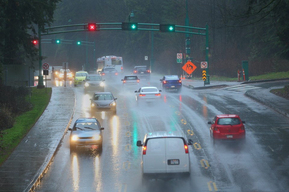
People living in or travelling to Vancouver for the Taylor Swift concert might want to brace for wet and colder conditions.
Environment Canada meteorologist Brian Proctor says it's still too far out to determine what conditions will be like during the pop icon's three last shows on her Eras Tour. However, they aren't "looking wonderfully optimistic."
Swift is scheduled to perform at BC Place on Dec. 6, 7, and 8, which falls after the start of meteorological winter on Dec. 1. That week, Swifties from around the world are also expected to arrive in Vancouver, many of them expecting a "Canadian winter."
"From a climatological point of view, there's a good chance of rain or wind," Proctor told V.I.A. "It's not atypical to see storm systems coming in at 24 to 48-hour intervals at this time of year."
Typical Vancouver weather in December
Swift's shows are still a few weeks out but next month's signal shows "below-average temperatures with no clear precipitation signal," for Metro Vancouver
"We'll start tweeting (posting on X, formerly Twitter) five to seven days out [before the event]," the meteorologist added.
A "fairy sharply" developing La Niña could mean even cooler temperatures than currently expected, as well as above-average precipitation. This doesn't bode well for folks hoping to stay dry en route to the event but it doesn't necessarily indicate a massive storm.
"It could be potentially stormy and definitely cooler than normal," he noted, adding that the "important thing is to watch the forecast as we get closer to the event."
Historic weather data for Vancouver in early December
Travellers to the city may also want to get in a day or more earlier to avoid potential disruption caused by inclement weather.
Based on Environment Canada's historical weather data, Vancouver's record high for Dec. 6 is 12.7 C with a low of -12.2 C; the record high rainfall was 30.2 mm set in 1948. For Dec. 7, the record high is 13.3 C with a low of -11.6 C; the record high rainfall was 51.8 mm in 1906 (see slides two through four).
The record high temperature for Dec. 8 is 13.8 C with a low of -11.1 C; the record high rainfall was 38.6 mm in 1956.
The Farmer's Almanac says the average maximum temperature for December is 6.6 C with a low of 1.1 C and a monthly frequency of precipitation of 64 per cent.
Will it snow in Vancouver in December?
Late November or early December snow isn't out of the realm of possibilities, either. In November 2022, a Surrey man was stuck in traffic for a jaw-dropping 12 hours on the way home from work in Vancouver due to a rare snowstorm that slowed traffic to a halt.
The weather records for snow in Vancouver in early December show impressive amounts for all three days of Swifts shows.
On Dec. 6, 1958, Vancouver received 14.2 cm of snowfall, while on Dec. 7, 1927, 11.4 cm of the white stuff fell.
Dec. 8, 1971, saw the most impressive snowfall, receiving a whopping 28.4 cm.
La Niña's current evolving strength may mean it has a larger impact and weather events like the aforementioned one are somewhat more likely.
"[The La Niña signal] still looks weak but now looks stronger than it previously was," Proctor added.
"Stay tuned for updated bulletins."
Stay up-to-date with hyperlocal forecasts across 50 neighbourhoods in the Lower Mainland with V.I.A.'s Weatherhood.


