
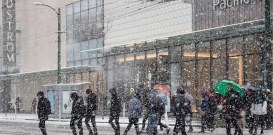
A snowfall warning is in effect for Metro Vancouver as the region is expected to receive five to 20 cm of snowfall today and tonight.
Environment Canada notes that a front will track down the B.C. coast beginning Tuesday morning and combine with a cool airmass to produce snow across the lowlands. However, snowfall amounts will vary in the Lower Mainland because the air will not be truly Arcitc.
Snowfall amounts will vary with proximity to the water, elevation and intensity of precipitation.
Anywhere from five to 20 cm of heavy, wet snow is expected. The highest amounts are expected over the northern and inland sections of Metro Vancouver and the Fraser Valley where the snow will persist the longest, until tonight or Wednesday morning.
Snowfall warning in effect for:
- Metro Vancouver - central including the City of Vancouver Burnaby and New Westminster
- Metro Vancouver - North Shore including West Vancouver and North Vancouver
- Metro Vancouver - northeast including Coquitlam and Maple Ridge
- Metro Vancouver - southeast including Surrey and Langley
- Metro Vancouver - southwest including Richmond and Delta
Warmer air will arrive faster over Sunshine Coast, East Vancouver Island, and the southwestern sections of Metro Vancouver and the transition to rain there will start this afternoon or evening.
The forecast notes that the precipitation should turn to rain everywhere in Metro Vancouver by Wednesday as a flow of milder Pacific air returns. Futher, rainfall is expected to continue until Saturday.
Be prepared to adjust your driving with changing road conditions. Surfaces such as highways, roads, walkways and parking lots may become difficult to navigate due to accumulating snow. There may be a significant impact on rush hour traffic in urban areas


