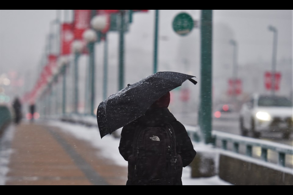
It seems winter might not quite be done with the region this season.
The rainy weather is expected to continue this week, says Environment Canada meteorologist Nan Lu, with a chance of snow falling in Metro Vancouver Tuesday, Feb. 27 as temperatures dip; a high of only 4 C is expected.
"It's a cool day," Lu tells V.I.A. "Once the precipitation arrives the temperature will drop. Away from the water and at higher terrain it's possible to see more snow; the higher you are the more likely you are to see snowfall accumulation."
Where exactly the heaviest snow fall could be is difficult to say the far out from the weather event.
"The snowfall amount could be highly variable," Lu says, adding that how much accumulates will also be variable.
Right now, she adds, it looks like snow may fall Tuesday afternoon and evening, between 4 p.m. and 7 p.m., but that may change. However, it could mean traffic issues on the commute home on Feb. 27.
Following the flurries Tuesday evening and night, heavy rain is expected and by Wednesday morning most snow in the Metro Vancouver region should be melted, except at high elevations.
"Over Tuesday night we will be seeing a warming trend with strong southwesterly flow," she explains.
However, just because the flurries may have stopped, doesn't mean the stormy weather is ending. Wednesday is expected to see heavy rain throughout the day, with the potential for a warning.
Because of the chance for snow accumulation and for heavy rains over 24 hours, the system could be deemed a winter storm, Lu adds, and Environment Canada my issue a warning if they believe it will meet the thresholds. In Vancouver they would have to forecast snow accumulations of over 5 cm in six hours and rainfall adding up to over 50 mm over 24 hours for it to be considered a winter storm.
Lu says it's possible.
"Environment Canada may issue a weather statement once there's more certainty."


