 |
Vancouver Heritage Foundation is a registered charity supporting the conservation of heritage buildings and structures in recognition of their contribution to the city’s economy, sustainability and culture. |
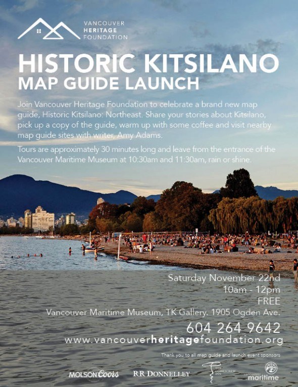
Looking for a fun free event this weekend? Join us in launching our Historic Kitsilano Map Guide this Saturday morning, November 22nd from 10AM-12PM. The area covered in VHF's Northeast Kitsilano Map guide was inhabited for thousands of years by indigenous people, who harvested abundant food from the waters and forests. Soon after the CPR established its western terminus on the Burrard Inlet waterfront in 1887, it evaluated Kits Point for ocean docks and other terminal facilities. As the City of Vancouver grew, industrial, business, military and real-estate interests all saw this part of Kitsilano as prime land.
Join us inside Vancouver Maritime Museum's TK Gallery and pick up a free Kits map guide. Chat with us over free coffee, bagels and sweets and watch a slideshow of archival images. VHF’s Historic Kits Map Guide author, Amy Adams, will lead two different walks leaving from the entrance of the Vancouver Maritime Museum at 10:30am and 11:30am, each lasting approximately 30 minutes, rain or shine. No registration is required. The event is free and everyone is welcome, but paid admission is required to view the St. Roch and exhibition galleries. Stay and explore the Vancouver Maritime Museum, our launch event host!
If you're interested in getting your hands on a copy of the map guide before Saturday, we'll be at the H.R. MacMillan Space Centre for the Planetarium's Star Theatre event, with John Atkin, Thursday November 20th at 7pm. You'll see early 1900s panoramic images of Coal Harbour; Granville Island; False Creek; Stanley Park; Canadian Pacific Railway; and Western Canada Shipyards docks. Tickets are available at the door or in advance at 604.738.7827 ext 240.


